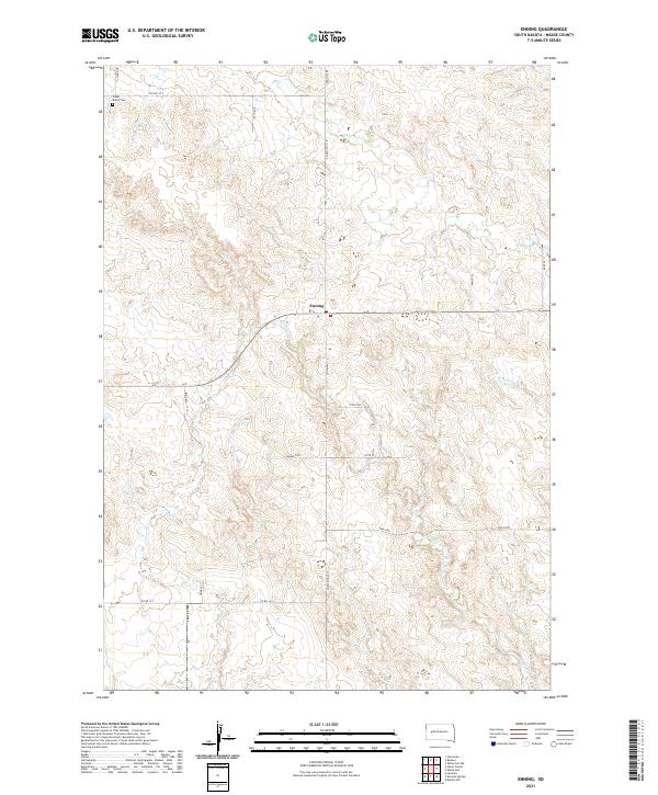
2021 Map of Enning
USGS Topo · Published 2021About this map
Enning sits at the intersection of Co HWY MC-31 and Co HWY 22 S, serving as a central point for this high plains region in Meade County. The landscape is defined by the subtle drainage patterns of several seasonal watercourses, including White Owl Cr, Bull Cr, and the eastern reaches of E Killdeer Cr. These creek beds carve through the ranchlands, often influencing the placement of local roads like Ranch Rd and Elm Springs Rd.
Find a feature on this map
29 named features on this map. Tap any name to fly to it.
Don’t see what you’re looking for? This feature index may not catch every label — zoom into the map to look around manually.
Map Details
Editions of this 2021 Enning Map
This is the sole edition of this map. No revisions or reprints were ever made.
Other maps of this area

1953 · Rapid City
USGS Topo · 1:250,000

1954 · Dalzell NW
USGS Topo · 1:24,000

1954 · Haydraw
USGS Topo · 1:24,000

1954 · Boneita Springs
USGS Topo · 1:24,000

1957 · Rapid City
USGS Topo · 1:250,000

1959 · Enning
USGS Topo · 1:24,000

1959 · Redowl
USGS Topo · 1:24,000

1959 · Stoneville
USGS Topo · 1:24,000

1959 · Union Center
USGS Topo · 1:24,000

1983 · Whiteman Owl NW
USGS Topo · 1:24,000