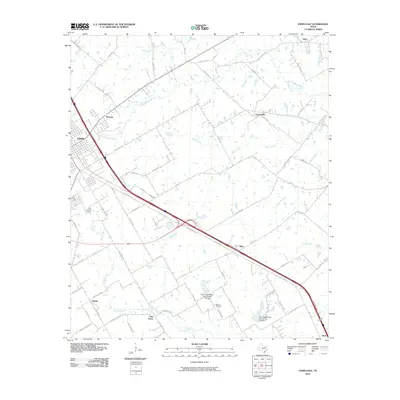
2010 Map of Ennis East
USGS Topo · Published 2010About this map
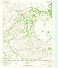
Ennis serves as the primary urban anchor in this corner of Ellis County, where the landscape transitions into a network of agricultural plots and drainage basins. The eastern expansion of the city is countered by smaller, established communities like Alma and Rice situated along the major highway corridor. Further into the countryside, the map reveals a pattern of rural settlement at Creechville, Sonoma, and Telico, often clustered near vital water sources such as Village Creek and Cottonwood Creek.
Find a feature on this map
60 named features on this map. Tap any name to fly to it.
Don’t see what you’re looking for? This feature index may not catch every label — zoom into the map to look around manually.
Map Details
Editions of this 2010 Ennis East Map
This is the sole edition of this map. No revisions or reprints were ever made.
Other maps of this area

1954 · Dallas
USGS Topo · 1:250,000
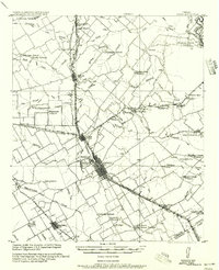
1956 · Ennis
USGS Topo · 1:62,500

1958 · Dallas
USGS Topo · 1:250,000
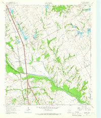
1961 · Chatfield
USGS Topo · 1:24,000
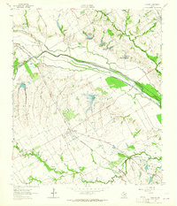
1962 · Emhouse
USGS Topo · 1:24,000
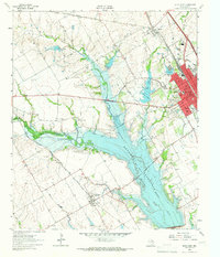
1962 · Ennis West
USGS Topo · 1:24,000
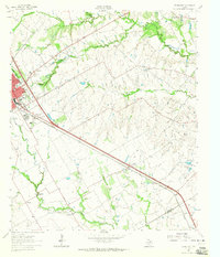
1962 · Ennis East
USGS Topo · 1:24,000
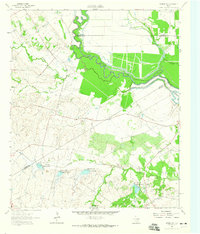
1962 · Rosser SW
USGS Topo · 1:24,000
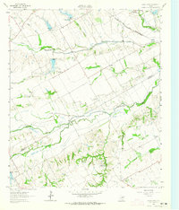
1962 · Cryer Creek
USGS Topo · 1:24,000
1962 · Bristol
USGS Topo · 1:24,000