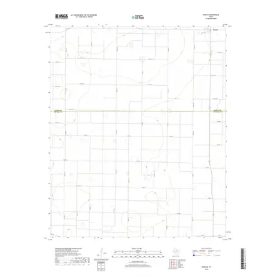
2019 Map of Enochs
USGS Topo · Published 2019About this map
Enochs stands as the primary settlement in this corner of the High Plains, situated at the junction of several farm roads on the edge of the Bailey and Cochran County line. The landscape is characterized by the expansive agricultural grid of the Llano Estacado, defined by a dense network of county roads like Co Rd 115 and Co Rd 157 that partition the terrain into precise sections. Just northeast of the town center lies the Enochs Cem, a significant landmark for those tracing family history in this rural community. The map illustrates the transition from Bailey County into Cochran County, reflecting the deep-seated reliance on ranching and farming transportation routes such as FM 54 and FM 597 that connect these remote West Texas outposts.
Find a feature on this map
32 named features on this map. Tap any name to fly to it.
Don’t see what you’re looking for? This feature index may not catch every label — zoom into the map to look around manually.
Map Details
Editions of this 2019 Enochs Map
This is the sole edition of this map. No revisions or reprints were ever made.
Other maps of this area

1954 · Brownfield
USGS Topo · 1:250,000

1958 · Brownfield
USGS Topo · 1:250,000

1962 · Brownfield
USGS Topo · 1:250,000
1968 · Bula
USGS Topo · 1:24,000
1968 · Three Way School
USGS Topo · 1:24,000
1968 · Upper White Lake
USGS Topo · 1:24,000
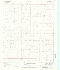
1969 · Maple
USGS Topo · 1:24,000
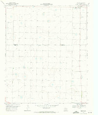
1969 · Enochs
USGS Topo · 1:24,000
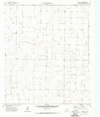
1970 · Morton NW
USGS Topo · 1:24,000
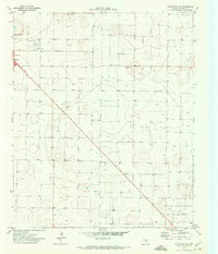
1971 · Whiteface NW
USGS Topo · 1:24,000