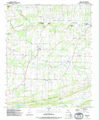
1994 Map of Enola
USGS Topo · Published 1994About this map
Enola serves as the central hub of this North Central Arkansas landscape, situated where the drainage of Muddy Bayou and Coney Creek defines the local topography. The map illustrates a rural community anchored by institutional landmarks such as Enola Sch and several country churches, including Crossroads Ch and Bethlehem Ch. The southern portion of the sheet is dominated by the ridges of Cascade Mountain, where several gaps like Cascade Gap and Stanley Gap provide natural passages through the high ground.
Find a feature on this map
34 named features on this map. Tap any name to fly to it.
Don’t see what you’re looking for? This feature index may not catch every label — zoom into the map to look around manually.
Map Details
Editions of this 1994 Enola Map
This is the sole edition of this map. No revisions or reprints were ever made.
Other maps of this area

1956 · Russellville
USGS Topo · 1:250,000
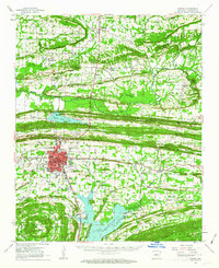
1961 · Conway
USGS Topo · 1:62,500
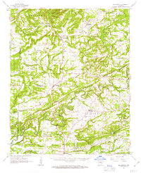
1961 · Bee Branch
USGS Topo · 1:62,500
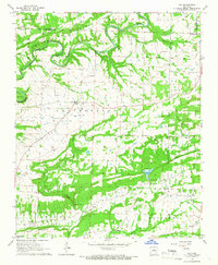
1961 · Guy
USGS Topo · 1:24,000
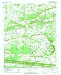
1961 · Holland
USGS Topo · 1:24,000
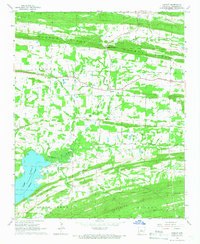
1961 · Hamlet
USGS Topo · 1:24,000
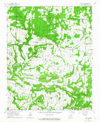
1963 · Rose Bud
USGS Topo · 1:24,000
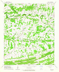
1963 · Enola
USGS Topo · 1:24,000
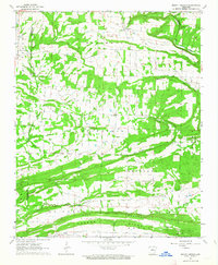
1963 · Mount Vernon
USGS Topo · 1:24,000
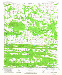
1963 · Mountain Springs
USGS Topo · 1:24,000