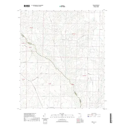
2018 Map of Enon
USGS Topo · Published 2018About this map
The Perdido River serves as the prominent natural boundary in this region, demarcating the state line between Florida and Alabama. On the Florida side, the community of Enon sits amidst a network of rural routes that reflect the area's agricultural and local heritage, including Enon School Rd and Waters Ferry Rd. The landscape is deeply incised by numerous tributaries such as Helverson Cr, Narrow Gap Br, and Boggy Creek, which feed into the main river system.
Find a feature on this map
50 named features on this map. Tap any name to fly to it.
Don’t see what you’re looking for? This feature index may not catch every label — zoom into the map to look around manually.
Map Details
Editions of this 2018 Enon Map
This is the sole edition of this map. No revisions or reprints were ever made.
Other maps of this area
1920 · Robertsdale
USGS Topo · 1:62,500
1921 · Muscogee
USGS Topo · 1:62,500
1941 · Muscogee
USGS Topo · 1:62,500
1941 · Robertsdale
USGS Topo · 1:62,500
1941 · Century
USGS Topo · 1:62,500
1942 · Dyas
USGS Topo · 1:62,500
1943 · Robertsdale
USGS Topo · 1:62,500
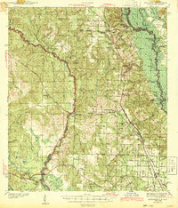
1943 · Muscogee
USGS Topo · 1:62,500
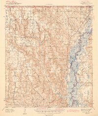
1943 · Century
USGS Topo · 1:62,500
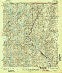
1944 · Dyas
USGS Topo · 1:62,500