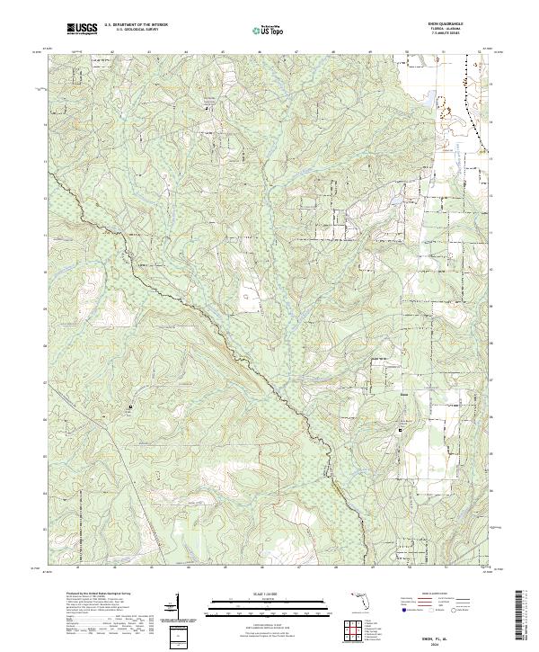
2024 Map of Enon
USGS Topo · Published 2024About this map
The Perdido River carves a winding path along the border of Florida and Alabama, defining the western edge of this settlement landscape in Escambia County. This area is anchored by the community of Enon, where the Enon Baptist Church Cem serves as a central landmark for local family history. The terrain is intricately drained by numerous waterways, including Brushy Creek, Helverson Creek, and the West Fork Boggy Creek, which flow through a network of rural routes such as Old Pensacola Rd and Holly Grove Rd.
Find a feature on this map
54 named features on this map. Tap any name to fly to it.
Don’t see what you’re looking for? This feature index may not catch every label — zoom into the map to look around manually.
Map Details
Editions of this 2024 Enon Map
This is the sole edition of this map. No revisions or reprints were ever made.
Other maps of this area

1920 · Robertsdale
USGS Topo · 1:62,500

1921 · Muscogee
USGS Topo · 1:62,500

1941 · Muscogee
USGS Topo · 1:62,500

1941 · Robertsdale
USGS Topo · 1:62,500

1941 · Century
USGS Topo · 1:62,500

1942 · Dyas
USGS Topo · 1:62,500

1943 · Robertsdale
USGS Topo · 1:62,500

1943 · Muscogee
USGS Topo · 1:62,500

1943 · Century
USGS Topo · 1:62,500

1944 · Dyas
USGS Topo · 1:62,500