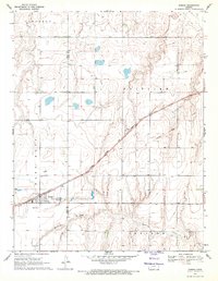
1969 Map of Ensign
USGS Topo · Published 1971About this map
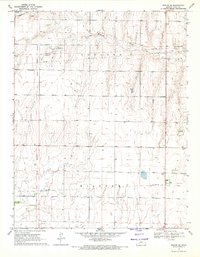
Ensign stands at the intersection of the prairie's road and rail networks, serving as a primary settlement in this Western Kansas landscape. The Atchison Topeka and Santa Fe Railroad Grade cuts a diagonal path across the terrain, linking the community of Sayre to the broader regional economy. The landscape is characterized by the winding path of Mulberry Creek and several large catchment areas, including the Sewage Disposal Ponds. Local family history and settlement patterns are anchored by the Johnson Cem and the Ensign Cem. Evidence of mid-century infrastructure is visible through the presence of a Radio Tower and the clearly defined Gray Co Ford Co boundary line, which divides the townships and rural agricultural plots of this High Plains region.
Find a feature on this map
14 named features on this map. Tap any name to fly to it.
Don’t see what you’re looking for? This feature index may not catch every label — zoom into the map to look around manually.
Map Details
Editions of this 1969 Ensign Map
This is the sole edition of this map. No revisions or reprints were ever made.
Other maps of this area

1892 · Dodge
USGS Topo · 1:125,000

1955 · Dodge City
USGS Topo · 1:250,000

1958 · Dodge City
USGS Topo · 1:250,000

1959 · Dodge City
USGS Topo · 1:250,000

1968 · Cimarron
USGS Topo · 1:24,000

1968 · Dodge City
USGS Topo · 1:24,000
1968 · Dodge City SW
USGS Topo · 1:24,000
1969 · South Dodge
USGS Topo · 1:24,000
1969 · Haggard
USGS Topo · 1:24,000
1969 · Ensign SE
USGS Topo · 1:24,000