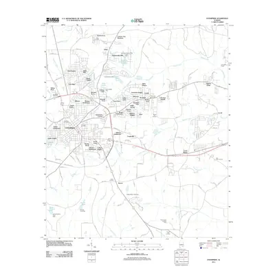
2011 Map of Enterprise
USGS Topo · Published 2011About this map
Enterprise serves as the focal point of this 2011 survey, showing a landscape defined by rapid residential expansion into the surrounding Alabama countryside. The map documents an intricate network of suburbs such as Briarhill Acres, Indigo, and Chateau Court that have replaced former timber or farmland. In the southeast, Level Plains marks a distinct community along the highway, while the area's spiritual and family history is anchored by numerous burial grounds including Salem Cemetery, Keyton Cemetery, and the New Hope Cemetery.
Find a feature on this map
127 named features on this map. Tap any name to fly to it.
Don’t see what you’re looking for? This feature index may not catch every label — zoom into the map to look around manually.
Map Details
Editions of this 2011 Enterprise Map
This is the sole edition of this map. No revisions or reprints were ever made.
Other maps of this area

1942 · Enterprise
USGS Topo · 1:125,000

1948 · Ozark
USGS Topo · 1:62,500

1950 · Ozark
USGS Topo · 1:62,500

1950 · Enterprise
USGS Topo · 1:62,500

1953 · Dothan
USGS Topo · 1:250,000

1954 · Dothan
USGS Topo · 1:250,000

1955 · Dothan
USGS Topo · 1:250,000

1957 · Geneva
USGS Topo · 1:62,500

1957 · Hartford
USGS Topo · 1:62,500

1957 · Bellwood
USGS Topo · 1:24,000