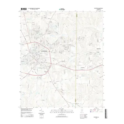
2014 Map of Enterprise
USGS Topo · Published 2014About this map
The city of Enterprise serves as the focal point of this 2014 survey, illustrating its growth toward the Dale County line. The map captures the suburban and institutional expansion of the era, notably the campus of the Enterprise-Ozark Community College and the sprawling Enterprise Country Club Lake. Beyond the city center, smaller named communities such as Indigo, Coppinville, and Level Plains show the residential patterns of the early 21st century. Genealogists will find several burial grounds documented, including Enterprise City Cemetery and rural sites like Salem Cemetery and New Hope Cemetery. The landscape is defined by a network of creeks including Harrand Creek and Coupen Creek, alongside numerous family-named landmarks like Paschal Pond and Phillip Martin Pond, which suggest the agricultural roots that persist in this corner of Alabama.
Find a feature on this map
174 named features on this map. Tap any name to fly to it.
Don’t see what you’re looking for? This feature index may not catch every label — zoom into the map to look around manually.
Map Details
Editions of this 2014 Enterprise Map
This is the sole edition of this map. No revisions or reprints were ever made.
Other maps of this area

1942 · Enterprise
USGS Topo · 1:125,000

1948 · Ozark
USGS Topo · 1:62,500

1950 · Ozark
USGS Topo · 1:62,500

1950 · Enterprise
USGS Topo · 1:62,500

1953 · Dothan
USGS Topo · 1:250,000

1954 · Dothan
USGS Topo · 1:250,000

1955 · Dothan
USGS Topo · 1:250,000

1957 · Geneva
USGS Topo · 1:62,500

1957 · Hartford
USGS Topo · 1:62,500

1957 · Bellwood
USGS Topo · 1:24,000