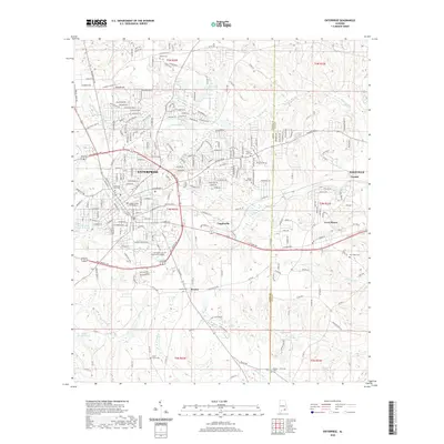
2020 Map of Enterprise
USGS Topo · Published 2020About this map
Enterprise and its suburban growth are central to this Southeast Alabama landscape, where the city center is defined by the Coffee County Courthouse and a dense network of residential streets. The development patterns of the modern era are evident in the Boll Weevil Cir bypass, which encricles the heart of the city and links prominent institutions like the Enterprise State Community College. To the east, the community of Coppinville sits along E Park Ave, illustrating the historical expansion of the town toward the neighboring Dale County line.
Find a feature on this map
74 named features on this map. Tap any name to fly to it.
Don’t see what you’re looking for? This feature index may not catch every label — zoom into the map to look around manually.
Map Details
Editions of this 2020 Enterprise Map
This is the sole edition of this map. No revisions or reprints were ever made.
Other maps of this area

1942 · Enterprise
USGS Topo · 1:125,000
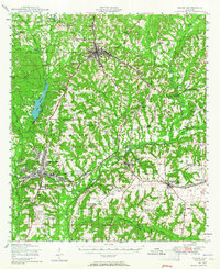
1948 · Ozark
USGS Topo · 1:62,500
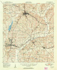
1950 · Ozark
USGS Topo · 1:62,500
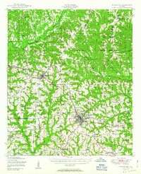
1950 · Enterprise
USGS Topo · 1:62,500

1953 · Dothan
USGS Topo · 1:250,000

1954 · Dothan
USGS Topo · 1:250,000

1955 · Dothan
USGS Topo · 1:250,000
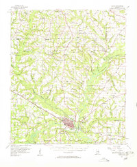
1957 · Geneva
USGS Topo · 1:62,500
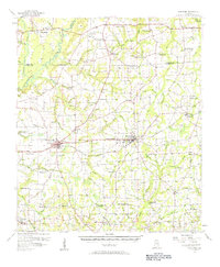
1957 · Hartford
USGS Topo · 1:62,500
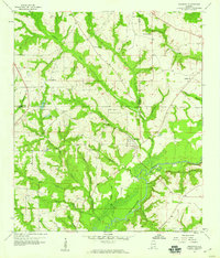
1957 · Bellwood
USGS Topo · 1:24,000