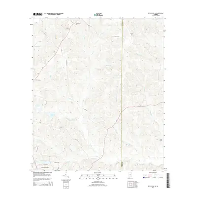
2014 Map of Enterprise NE
USGS Topo · Published 2014About this map
The border of Coffee and Dale counties divides this landscape north of Enterprise, where the drainage of the Pea River basin is defined by numerous spring-fed tributaries and creek bottoms. The terrain is notably dissected by watercourses like Richland Creek and Steep Head Creek, reflecting the characteristic topography of the Wiregrass region. Cultural history is anchored by several rural burial grounds and community nodes, including the settlement of Tabernacle and its namesake Old Tabernacle Cemetery. To the south, modern residential development is evident at Gateway Estates, clustered near Gateway Lake. Smaller water bodies like Pittman Brothers Lake and Essayons Lake dot the map, alongside historical crossings such as Parish Bridge over Richland Creek, illustrating the long-standing intersection of local transportation and the region's complex hydrology.
Find a feature on this map
51 named features on this map. Tap any name to fly to it.
Don’t see what you’re looking for? This feature index may not catch every label — zoom into the map to look around manually.
Map Details
Editions of this 2014 Enterprise NE Map
This is the sole edition of this map. No revisions or reprints were ever made.
Other maps of this area

1942 · Enterprise
USGS Topo · 1:125,000

1948 · Ozark
USGS Topo · 1:62,500

1948 · Brundidge
USGS Topo · 1:62,500

1950 · Ozark
USGS Topo · 1:62,500

1950 · Enterprise
USGS Topo · 1:62,500

1950 · Brundidge
USGS Topo · 1:62,500

1953 · Dothan
USGS Topo · 1:250,000

1954 · Dothan
USGS Topo · 1:250,000

1955 · Dothan
USGS Topo · 1:250,000

1960 · Brundidge SE
USGS Topo · 1:24,000