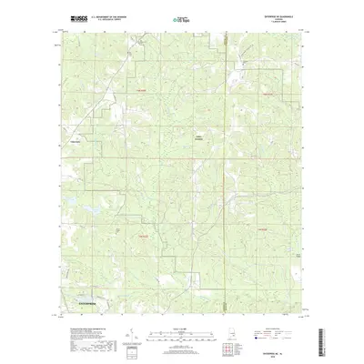
2018 Map of Enterprise NE
USGS Topo · Published 2018About this map
Enterprise sits at the southwestern edge of this survey, where residential developments like Gateway Dr and Winterberry Way begin to give way to the wooded creek drainages of the Wiregrass region. The landscape is defined by a dense network of watercourses, including Matthews Cr, Syrup Cr, and Steep Head Cr, which carve through the terrain as they flow toward the eastern county line. Much of the central and northern territory is occupied by the expansive grounds of Fort Rucker, a presence that significantly influenced the local geography and road network.
Find a feature on this map
45 named features on this map. Tap any name to fly to it.
Don’t see what you’re looking for? This feature index may not catch every label — zoom into the map to look around manually.
Map Details
Editions of this 2018 Enterprise NE Map
This is the sole edition of this map. No revisions or reprints were ever made.
Other maps of this area

1942 · Enterprise
USGS Topo · 1:125,000

1948 · Ozark
USGS Topo · 1:62,500

1948 · Brundidge
USGS Topo · 1:62,500

1950 · Ozark
USGS Topo · 1:62,500

1950 · Enterprise
USGS Topo · 1:62,500

1950 · Brundidge
USGS Topo · 1:62,500

1953 · Dothan
USGS Topo · 1:250,000

1954 · Dothan
USGS Topo · 1:250,000

1955 · Dothan
USGS Topo · 1:250,000

1960 · Brundidge SE
USGS Topo · 1:24,000