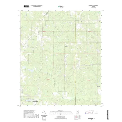
2020 Map of Enterprise NE
USGS Topo · Published 2020About this map
Fort Rucker Al and the northern outskirts of Enterprise define this section of the Alabama Wiregrass region. The landscape is characterized by an intricate drainage network of creeks and branches, many named for local milling history such as Kiser Mill Cr, Blacks Mill Cr, and Folsome Mill Cr. These watercourses reveal the historical reliance on local water power for industry before the modernization of the agricultural landscape.
Find a feature on this map
47 named features on this map. Tap any name to fly to it.
Don’t see what you’re looking for? This feature index may not catch every label — zoom into the map to look around manually.
Map Details
Editions of this 2020 Enterprise NE Map
This is the sole edition of this map. No revisions or reprints were ever made.
Other maps of this area

1942 · Enterprise
USGS Topo · 1:125,000

1948 · Ozark
USGS Topo · 1:62,500

1948 · Brundidge
USGS Topo · 1:62,500

1950 · Ozark
USGS Topo · 1:62,500

1950 · Enterprise
USGS Topo · 1:62,500

1950 · Brundidge
USGS Topo · 1:62,500

1953 · Dothan
USGS Topo · 1:250,000

1954 · Dothan
USGS Topo · 1:250,000

1955 · Dothan
USGS Topo · 1:250,000

1960 · Brundidge SE
USGS Topo · 1:24,000