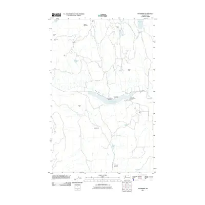
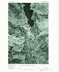
2011 Map of Enterprise
USGS Topo · Published 2011About this map
Mining operations and water management define the landscape of this Okanogan County region as documented in 2011. The terrain is marked by numerous historic claims and shafts, including the Ivanhoe Mine, Copper World Mine, and Pinnacle Mine, situated on the slopes surrounding Palmer Mountain. This area illustrates the late 19th and early 20th-century rush for gold and copper, where prospectors once navigated paths like the Silver Star Mine Rd.
Find a feature on this map
40 named features on this map. Tap any name to fly to it.
Don’t see what you’re looking for? This feature index may not catch every label — zoom into the map to look around manually.
Map Details
Editions of this 2011 Enterprise Map
This is the sole edition of this map. No revisions or reprints were ever made.
Other maps of this area
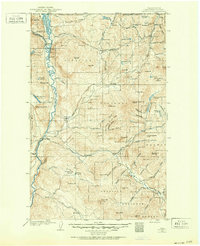
1902 · Osoyoos
USGS Topo · 1:125,000
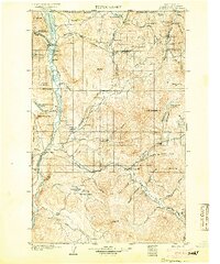
1904 · Osoyoos
USGS Topo · 1:125,000
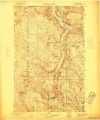
1906 · Chopaka
USGS Topo · 1:125,000

1954 · Okanogan
USGS Topo · 1:250,000
1956 · Loomis
USGS Topo · 1:62,500
1957 · Conconully
USGS Topo · 1:62,500
1957 · Tonasket
USGS Topo · 1:62,500
1957 · Oroville
USGS Topo · 1:62,500

1958 · Okanogan
USGS Topo · 1:250,000
1975 · Oroville NW
USGS Topo · 1:24,000