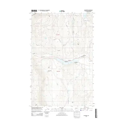
2014 Map of Enterprise
USGS Topo · Published 2014About this map
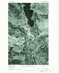
Loomis and Enterprise anchor this high-desert landscape in northern Okanogan County, where the transition from irrigated valley floors to dry, mountain slopes defines the local economy. The prominent Whitestone Ditch cuts through the center of the sheet, illustrating the critical role of water management in supporting the region's agricultural and resort activities. Recreation is a major focus along the shorelines, with the Spectacle Lake Campground and Sonora Point Resort-Recreational Vehicle Park providing access to Spectacle Lake. To the north and south, the terrain rises sharply toward peaks such as Palmer Mtn and Aeneas Mtn. Geologists and local historians can trace the network of rural roads like Silver Star Mine Rd and Wannacut Lake Rd that wind through the coulees and past isolated water sources like Horse Cr and Stevens Lake.
Find a feature on this map
47 named features on this map. Tap any name to fly to it.
Don’t see what you’re looking for? This feature index may not catch every label — zoom into the map to look around manually.
Map Details
Editions of this 2014 Enterprise Map
This is the sole edition of this map. No revisions or reprints were ever made.
Other maps of this area
1902 · Osoyoos
USGS Topo · 1:125,000
1904 · Osoyoos
USGS Topo · 1:125,000
1906 · Chopaka
USGS Topo · 1:125,000

1954 · Okanogan
USGS Topo · 1:250,000
1956 · Loomis
USGS Topo · 1:62,500
1957 · Conconully
USGS Topo · 1:62,500
1957 · Tonasket
USGS Topo · 1:62,500
1957 · Oroville
USGS Topo · 1:62,500

1958 · Okanogan
USGS Topo · 1:250,000
1975 · Oroville NW
USGS Topo · 1:24,000