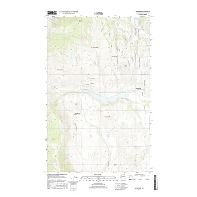
2017 Map of Enterprise
USGS Topo · Published 2017About this map
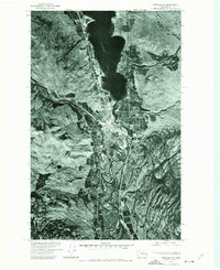
Loomis and the settlement of Enterprise sit at the center of this Okanogan County landscape, where the terrain is defined by dramatic elevation shifts and a network of interior lakes. The high peaks of Palmer Mtn and Aeneas Mtn loom over the valley floor, which is irrigated by the Whitestone Ditch. This area exhibits a complex water system including Spectacle Lake, Wannacut Lake, and Washburn Lake, alongside numerous named springs such as Burbery Spring and Harman Spring. The presence of the Loomis-Oroville Rd serves as the primary artery connecting these high-desert communities. To the south, Horse Springs Coulee cuts through the hills near Jones Hill, illustrating the classic coulee formations of the region. Local development is visible through named tracks like Whitewolf Acres Development Rd and Majestic Hills Development Rd, which wind through the foothills near White Rock.
Find a feature on this map
58 named features on this map. Tap any name to fly to it.
Don’t see what you’re looking for? This feature index may not catch every label — zoom into the map to look around manually.
Map Details
Editions of this 2017 Enterprise Map
This is the sole edition of this map. No revisions or reprints were ever made.
Other maps of this area
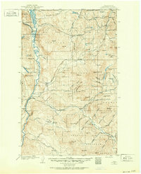
1902 · Osoyoos
USGS Topo · 1:125,000
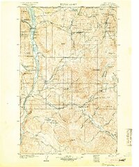
1904 · Osoyoos
USGS Topo · 1:125,000
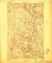
1906 · Chopaka
USGS Topo · 1:125,000

1954 · Okanogan
USGS Topo · 1:250,000
1956 · Loomis
USGS Topo · 1:62,500
1957 · Conconully
USGS Topo · 1:62,500
1957 · Tonasket
USGS Topo · 1:62,500
1957 · Oroville
USGS Topo · 1:62,500

1958 · Okanogan
USGS Topo · 1:250,000
1975 · Oroville NW
USGS Topo · 1:24,000