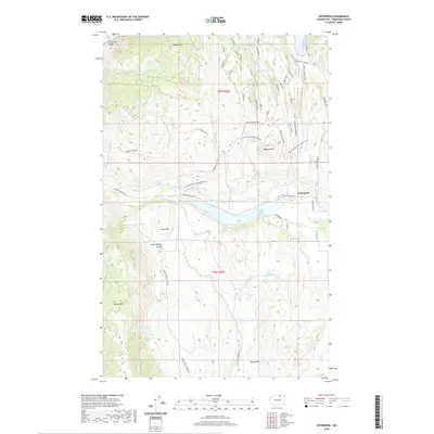
2020 Map of Enterprise
USGS Topo · Published 2020About this map
Enterprise sits at the heart of this Okanogan County landscape, where the high-elevation terrain is defined by prominent peaks like Palmer Mtn and Aeneas Mtn. The region's water management is evident in the presence of the Whitestone Ditch, which traverses the center of the sheet near Spectacle Lake. This network of irrigation and natural drainage connects numerous smaller water bodies, including Washburn Lake, Rainbow Lake, and Catlin Lake, reflecting the vital role of water in this semi-arid highland.
Find a feature on this map
59 named features on this map. Tap any name to fly to it.
Don’t see what you’re looking for? This feature index may not catch every label — zoom into the map to look around manually.
Map Details
Editions of this 2020 Enterprise Map
This is the sole edition of this map. No revisions or reprints were ever made.
Other maps of this area
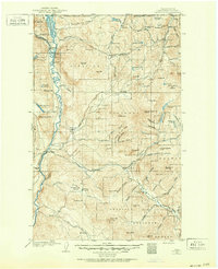
1902 · Osoyoos
USGS Topo · 1:125,000
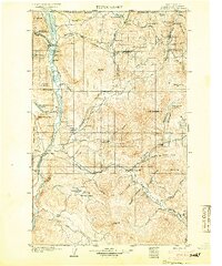
1904 · Osoyoos
USGS Topo · 1:125,000
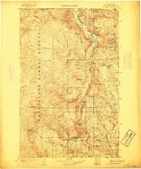
1906 · Chopaka
USGS Topo · 1:125,000

1954 · Okanogan
USGS Topo · 1:250,000
1956 · Loomis
USGS Topo · 1:62,500
1957 · Conconully
USGS Topo · 1:62,500
1957 · Tonasket
USGS Topo · 1:62,500
1957 · Oroville
USGS Topo · 1:62,500

1958 · Okanogan
USGS Topo · 1:250,000
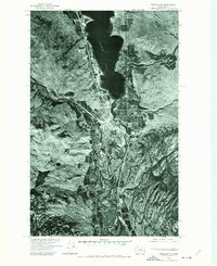
1975 · Oroville NW
USGS Topo · 1:24,000