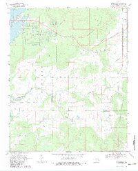
1969 Map of Enterprise
USGS Topo · Published 1983About this map
Lake Eufaula dominates the northwestern corner of this landscape, its waters reaching into the surrounding hills just north of the Pittsburg and Haskell County line. The settlement of Enterprise sits in the northeast, serving as a hub for local families as evidenced by the nearby Enterprise Cem. Further south, the community of Russellville is situated along the Russellville Branch, reflecting the rural character of the region during the late 1960s.
Find a feature on this map
25 named features on this map. Tap any name to fly to it.
Don’t see what you’re looking for? This feature index may not catch every label — zoom into the map to look around manually.
Map Details
Editions of this 1969 Enterprise Map
2 editions found
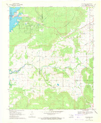
Other maps of this area

1900 · Sansbois
USGS Topo · 1:125,000

1900 · Canadian
USGS Topo · 1:125,000

1909 · Sans Bois
USGS Topo · 1:125,000

1911 · Sansbois
USGS Topo · 1:125,000

1946 · Fort Smith
USGS Topo · 1:250,000

1963 · Porum
USGS Topo · 1:24,000

1963 · Eufaula
USGS Topo · 1:24,000

1963 · Texanna
USGS Topo · 1:24,000

1965 · Fort Smith
USGS Topo · 1:250,000

1967 · Fort Smith
USGS Topo · 1:250,000