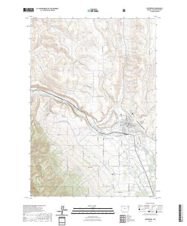
2024 Map of Enterprise
USGS Topo · Published 2024About this map
Enterprise serves as the focal point of this Wallowa County landscape, where the historic Wallowa County Courthouse and the local Enterprise Cem anchor the community's layout. The terrain transitions from the high elevations of the Eagle Cap Wilderness and Wallowa National Forest in the southwest toward the alluvial plains of Alder Slope. This agricultural and conservation-heavy area is defined by a complex network of irrigation, including the Island Ditch, Hurricane Ditch, and Lower Alder Slope Ditch, illustrating the managed water systems necessary for ranching and fish conservation. The presence of the Fish Hatchery near the Wallowa River and Wallowa Ponds highlights the region's commitment to aquatic management. Notable waterways like Hurricane Creek and Trout Creek descend from the mountain ridges, feeding the valleys where the 6 Ranch Airport and Enterprise Municipal Airport facilitate regional access.
Find a feature on this map
75 named features on this map. Tap any name to fly to it.
Don’t see what you’re looking for? This feature index may not catch every label — zoom into the map to look around manually.
Map Details
Editions of this 2024 Enterprise Map
This is the sole edition of this map. No revisions or reprints were ever made.
Other maps of this area

1955 · Grangeville
USGS Topo · 1:250,000

1957 · Enterprise
USGS Topo · 1:62,500

1957 · Joseph
USGS Topo · 1:62,500

1957 · Sled Springs
USGS Topo · 1:62,500

1957 · Elk Mountain
USGS Topo · 1:62,500

1959 · Grangeville
USGS Topo · 1:250,000

1982 · Wallowa
USGS Topo · 1:100,000

1986 · Enterprise
USGS Topo · 1:100,000

1990 · Lostine
USGS Topo · 1:24,000

1990 · Chief Joseph Mtn
USGS Topo · 1:24,000