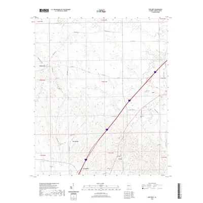
2020 Map of Epes West
USGS Topo · Published 2020About this map
Sumterville and the surrounding agricultural lands of northern Sumter County are defined by a complex network of creeks and family homesteads. The terrain is deeply etched by watercourses such as Jones Cr, Turkey Cr, and Abe Br, which dictate the placement of early settlements and road networks. Smaller communities like McCainville and Parker are centers of local history, while the southern edge of the map shows the northern approach to Livingston.
Find a feature on this map
54 named features on this map. Tap any name to fly to it.
Don’t see what you’re looking for? This feature index may not catch every label — zoom into the map to look around manually.
Map Details
Editions of this 2020 Epes West Map
This is the sole edition of this map. No revisions or reprints were ever made.
Other maps of this area

1929 · Epes
USGS Topo · 1:48,000

1932 · Epes
USGS Topo · 1:62,500

1953 · Meridian
USGS Topo · 1:250,000

1957 · Meridian
USGS Topo · 1:250,000

1965 · Meridian
USGS Topo · 1:250,000
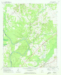
1970 · Boligee
USGS Topo · 1:24,000

1970 · Gainesville
USGS Topo · 1:24,000
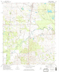
1973 · Geiger
USGS Topo · 1:24,000

1974 · Boyd
USGS Topo · 1:24,000
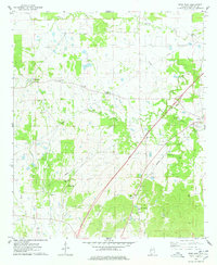
1974 · Epes West
USGS Topo · 1:24,000