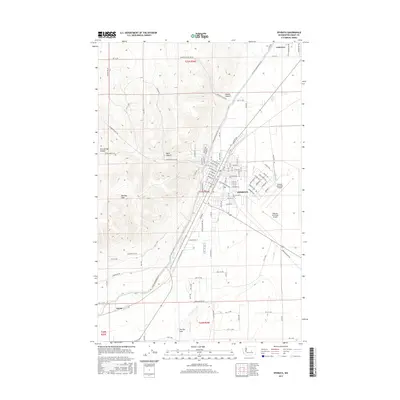
2017 Map of Ephrata
USGS Topo · Published 2017About this map
Ephrata serves as the central hub of this high-desert landscape, where the structured grid of the city meets the stark topography of the Beezley Hills. The map shows a clear division between the developed residential and industrial sectors of the town and the deeply etched drainage systems of Davis Canyon, Hunter Canyon, and Two Springs Canyon to the west. This contrast illustrates the way the settlement has expanded along the valley floor while the surrounding ridges remain defined by their natural landforms.
Find a feature on this map
102 named features on this map. Tap any name to fly to it.
Don’t see what you’re looking for? This feature index may not catch every label — zoom into the map to look around manually.
Map Details
Editions of this 2017 Ephrata Map
This is the sole edition of this map. No revisions or reprints were ever made.
Other maps of this area
1910 · Winchester
USGS Topo · 1:62,500
1912 · Moses Lake
USGS Topo · 1:62,500
1953 · Ritzville
USGS Topo · 1:250,000
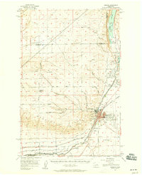
1956 · Ephrata
USGS Topo · 1:62,500
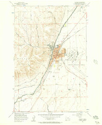
1956 · Ephrata
USGS Topo · 1:24,000
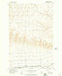
1956 · Ephrata SW
USGS Topo · 1:24,000
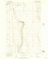
1956 · Grant Orchards
USGS Topo · 1:24,000
1956 · Winchester NE
USGS Topo · 1:24,000
1956 · Moses Lake NW
USGS Topo · 1:24,000
1956 · Soap Lake
USGS Topo · 1:24,000