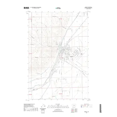
2020 Map of Ephrata
USGS Topo · Published 2020About this map
Ephrata serves as the focal point of this Grant County landscape, characterized by the sharp contrast between the rising elevations of the Beezley Hills and the engineered irrigation networks of the Columbia Basin Project. The city’s central district is anchored by the Grant County Courthouse, while the Ephrata Cem and residential streets like 1st Ave NW reflect the community's local history. The influence of the Bureau of Reclamation is evident in the sprawling waterways that define the terrain, including the West Canal, Quincy Lateral Canal, and W 9-B Canal.
Find a feature on this map
69 named features on this map. Tap any name to fly to it.
Don’t see what you’re looking for? This feature index may not catch every label — zoom into the map to look around manually.
Map Details
Editions of this 2020 Ephrata Map
This is the sole edition of this map. No revisions or reprints were ever made.
Other maps of this area

1910 · Winchester
USGS Topo · 1:62,500

1912 · Moses Lake
USGS Topo · 1:62,500

1953 · Ritzville
USGS Topo · 1:250,000

1956 · Ephrata
USGS Topo · 1:62,500

1956 · Ephrata
USGS Topo · 1:24,000

1956 · Ephrata SW
USGS Topo · 1:24,000

1956 · Grant Orchards
USGS Topo · 1:24,000

1956 · Winchester NE
USGS Topo · 1:24,000
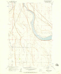
1956 · Moses Lake NW
USGS Topo · 1:24,000

1956 · Soap Lake
USGS Topo · 1:24,000