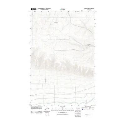
2011 Map of Ephrata SW
USGS Topo · Published 2011About this map
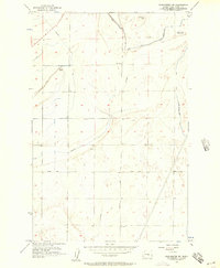
Wheatland School stands as a focal point in this portion of Grant County, marking a site of local importance within a landscape defined by an extensive grid of section roads and irrigation infrastructure. The territory is dominated by the Quincy Lateral Canal and its associated Canal Maintenance Rd, which underscore the region's managed agricultural character. Steep elevation changes are most prominent at Two Springs Canyon, while the surrounding terrain is navigated by a systematic network of thoroughfares including Baird Springs Rd, Martin Rd, and Sagebrush Flats Rd. This 2011 survey by the U.S. Geological Survey illustrates how water management systems and rural road layouts have organized the sagebrush flats and coulees of central Washington in the early 21st century.
Find a feature on this map
18 named features on this map. Tap any name to fly to it.
Don’t see what you’re looking for? This feature index may not catch every label — zoom into the map to look around manually.
Map Details
Editions of this 2011 Ephrata SW Map
This is the sole edition of this map. No revisions or reprints were ever made.
Other maps of this area
1909 · Quincy
USGS Topo · 1:62,500
1910 · Quincy
USGS Topo · 1:62,500
1910 · Winchester
USGS Topo · 1:62,500
1953 · Ritzville
USGS Topo · 1:250,000
1956 · Ephrata
USGS Topo · 1:62,500
1956 · Ephrata
USGS Topo · 1:24,000
1956 · Ephrata SW
USGS Topo · 1:24,000
1956 · Winchester NE
USGS Topo · 1:24,000
1959 · Ritzville
USGS Topo · 1:250,000
1965 · Ritzville
USGS Topo · 1:250,000