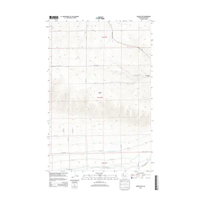
2014 Map of Ephrata SW
USGS Topo · Published 2014About this map
Beezley Hills dominates this portion of Grant County, presenting a landscape defined by significant elevation changes and deep coulees. The terrain is marked by prominent features like Lynch Coulee and Two Springs Canyon, reflecting the geologic character of the Columbia Basin. Human modification of the arid environment is evident in the southern portion of the map, where the Quincy Lateral Canal and various Canal Maintenance Rd segments support local irrigation efforts. Transportation in this area relies on a grid of rural routes, including Sagebrush Flats Rd and Baird Springs Rd, which navigate the high plateaus and provide access to remote water sources like Two Springs. This survey provides a look at the intersection of natural topography and agricultural infrastructure in central Washington.
Find a feature on this map
23 named features on this map. Tap any name to fly to it.
Don’t see what you’re looking for? This feature index may not catch every label — zoom into the map to look around manually.
Map Details
Editions of this 2014 Ephrata SW Map
This is the sole edition of this map. No revisions or reprints were ever made.
Other maps of this area
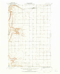
1909 · Quincy
USGS Topo · 1:62,500
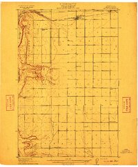
1910 · Quincy
USGS Topo · 1:62,500
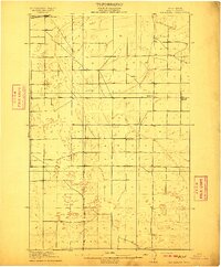
1910 · Winchester
USGS Topo · 1:62,500
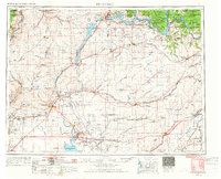
1953 · Ritzville
USGS Topo · 1:250,000
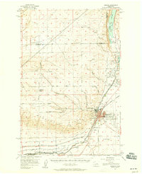
1956 · Ephrata
USGS Topo · 1:62,500
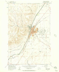
1956 · Ephrata
USGS Topo · 1:24,000
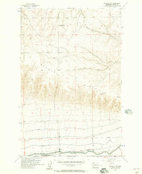
1956 · Ephrata SW
USGS Topo · 1:24,000
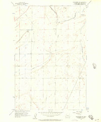
1956 · Winchester NE
USGS Topo · 1:24,000
1959 · Ritzville
USGS Topo · 1:250,000
1965 · Ritzville
USGS Topo · 1:250,000