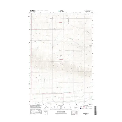
2017 Map of Ephrata SW
USGS Topo · Published 2017About this map
Beezley Hills dominates the central landscape of this Grant County region, reflecting the characteristic basalt formations and coulee topography of central Washington. The southern portion of the map reveals the complex water infrastructure of the Columbia Basin Project, specifically the Quincy Lateral Canal which cuts through the arid landscape to support regional agriculture. A network of rural roads, including Wheatland Rd and Sagebrush Flats Rd, follows the section lines of the Public Land Survey System, illustrating how modern habitation and transit are superimposed on the prehistoric landforms of Lynch Coulee and Two Springs Canyon. Small water sources like Two Springs remain critical landmarks in this high-desert environment, where the elevation changes are captured by the detailed contours of the USGS survey.
Find a feature on this map
25 named features on this map. Tap any name to fly to it.
Don’t see what you’re looking for? This feature index may not catch every label — zoom into the map to look around manually.
Map Details
Editions of this 2017 Ephrata SW Map
This is the sole edition of this map. No revisions or reprints were ever made.
Other maps of this area
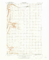
1909 · Quincy
USGS Topo · 1:62,500
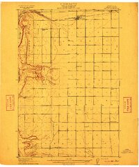
1910 · Quincy
USGS Topo · 1:62,500
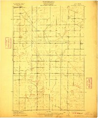
1910 · Winchester
USGS Topo · 1:62,500
1953 · Ritzville
USGS Topo · 1:250,000
1956 · Ephrata
USGS Topo · 1:62,500
1956 · Ephrata
USGS Topo · 1:24,000
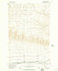
1956 · Ephrata SW
USGS Topo · 1:24,000
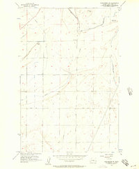
1956 · Winchester NE
USGS Topo · 1:24,000
1959 · Ritzville
USGS Topo · 1:250,000
1965 · Ritzville
USGS Topo · 1:250,000