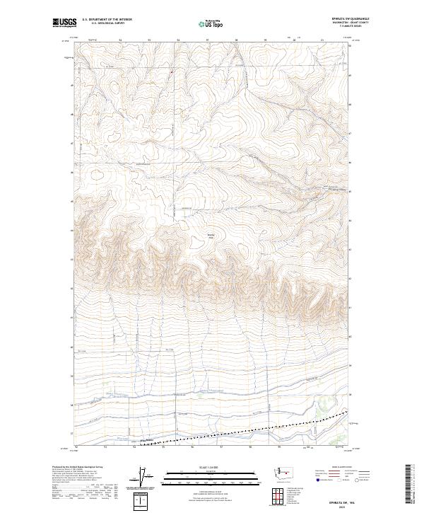
2023 Map of Ephrata SW
USGS Topo · Published 2023About this map
Beezley Hills dominate the central landscape of this Grant County region, marking a significant topographic rise north of the agricultural plains. This area illustrates the specialized water management infrastructure essential to the Columbia Basin, characterized by the West Canal and the Quincy Lateral Canal which skirt the southern reaches near the settlement of Winchester. These engineered waterways contrast with the natural drainage found in Two Springs Canyon and at Two Springs to the northeast. A grid of rural routes, including Baird Springs Rd and Wheatland Rd, provides access across the shifting elevations, while the Qcbid designation indicates the ongoing role of the Quincy-Columbia Basin Irrigation District in shaping the local land use and economy.
Find a feature on this map
26 named features on this map. Tap any name to fly to it.
Don’t see what you’re looking for? This feature index may not catch every label — zoom into the map to look around manually.
Map Details
Editions of this 2023 Ephrata SW Map
This is the sole edition of this map. No revisions or reprints were ever made.
Other maps of this area

1909 · Quincy
USGS Topo · 1:62,500

1910 · Quincy
USGS Topo · 1:62,500

1910 · Winchester
USGS Topo · 1:62,500

1953 · Ritzville
USGS Topo · 1:250,000

1956 · Ephrata
USGS Topo · 1:62,500

1956 · Ephrata
USGS Topo · 1:24,000

1956 · Ephrata SW
USGS Topo · 1:24,000

1956 · Winchester NE
USGS Topo · 1:24,000

1959 · Ritzville
USGS Topo · 1:250,000

1965 · Ritzville
USGS Topo · 1:250,000