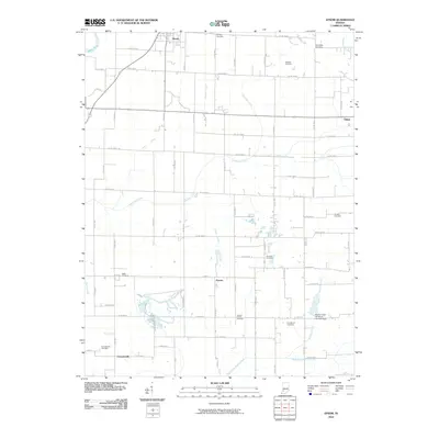
2010 Map of Epsom
USGS Topo · Published 2010About this map
Epsom and Cornettsville anchor this 2010 topographic record of northern Daviess County, where the landscape is defined by a dense network of county roads and agricultural drainage systems. The map details the rural character of the region, featuring several small settlements like Elnora and Odon alongside an extensive list of local burial grounds, including Tolberts Chapel Cemetery, Cornettsville Cemetery, and Ketcham Cemetery. These sites provide significant data for genealogical research in this part of Indiana.
Find a feature on this map
66 named features on this map. Tap any name to fly to it.
Don’t see what you’re looking for? This feature index may not catch every label — zoom into the map to look around manually.
Map Details
Editions of this 2010 Epsom Map
This is the sole edition of this map. No revisions or reprints were ever made.
Other maps of this area

1943 · Lyons
USGS Topo · 1:24,000

1943 · Sandborn
USGS Topo · 1:24,000

1943 · Plainville
USGS Topo · 1:24,000

1943 · Epsom
USGS Topo · 1:24,000

1944 · Montgomery
USGS Topo · 1:24,000

1944 · Washington
USGS Topo · 1:24,000

1950 · Odon
USGS Topo · 1:24,000

1956 · Loogootee
USGS Topo · 1:24,000

1956 · Vincennes
USGS Topo · 1:250,000

1957 · Vincennes
USGS Topo · 1:250,000