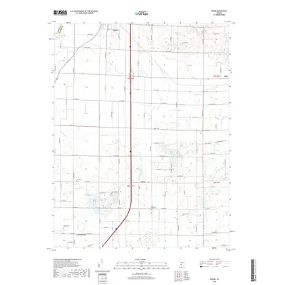
2019 Map of Epsom
USGS Topo · Published 2019About this map
Epsom and Cornettsville anchor this agricultural region of Daviess County, where the landscape is defined by an intricate network of drainage systems. The survey illustrates how the local economy relies on managed water, with features like Epsom Lateral, Hays Ditch, and Bethel Ditch crisscrossing the plains to support the surrounding farms. At the northern boundary, the settlement of Elnora sits near the White River and the Knox County line, while Odon marks the eastern edge of the quadrangle.
Find a feature on this map
75 named features on this map. Tap any name to fly to it.
Don’t see what you’re looking for? This feature index may not catch every label — zoom into the map to look around manually.
Map Details
Editions of this 2019 Epsom Map
This is the sole edition of this map. No revisions or reprints were ever made.
Other maps of this area
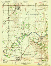
1943 · Lyons
USGS Topo · 1:24,000
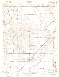
1943 · Sandborn
USGS Topo · 1:24,000
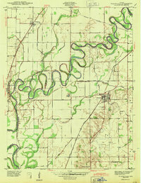
1943 · Plainville
USGS Topo · 1:24,000
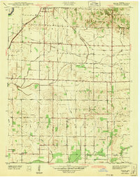
1943 · Epsom
USGS Topo · 1:24,000
1944 · Montgomery
USGS Topo · 1:24,000
1944 · Washington
USGS Topo · 1:24,000
1950 · Odon
USGS Topo · 1:24,000
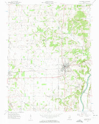
1956 · Loogootee
USGS Topo · 1:24,000
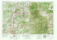
1956 · Vincennes
USGS Topo · 1:250,000
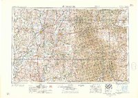
1957 · Vincennes
USGS Topo · 1:250,000