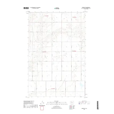
2020 Map of Epworth SE
USGS Topo · Published 2020About this map
Shell Cr meanders through the northwest corner of this Mountrail County landscape, which is defined by the rigid grid of the Public Land Survey System. The map documents a predominantly rural area organized into townships including t154n r89w, t154n r88w, and t153n r89w. This systematic division of the Great Plains is visible through the network of section-line roads, such as 48th St NW and 71st Ave NW, which facilitate transport across the open terrain.
Find a feature on this map
26 named features on this map. Tap any name to fly to it.
Don’t see what you’re looking for? This feature index may not catch every label — zoom into the map to look around manually.
Map Details
Editions of this 2020 Epworth SE Map
This is the sole edition of this map. No revisions or reprints were ever made.
Other maps of this area

1953 · Williston
USGS Topo · 1:250,000

1953 · Watford City
USGS Topo · 1:250,000

1954 · Minot
USGS Topo · 1:250,000

1954 · McClusky
USGS Topo · 1:250,000

1957 · Williston
USGS Topo · 1:250,000

1957 · Watford City
USGS Topo · 1:250,000

1958 · McClusky
USGS Topo · 1:250,000

1958 · Minot
USGS Topo · 1:250,000

1967 · Watford City
USGS Topo · 1:250,000

1980 · Minot
USGS Topo · 1:100,000