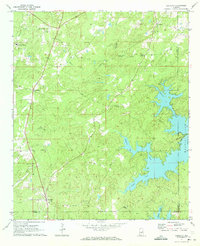
1971 Map of Equality
USGS Topo · Published 1973About this map
The winding inlets of Martin Lake define the eastern and southern edges of this 1971 survey, where the rising water transformed the local terrain into a complex system of fingers and peninsulas. Away from the shoreline, the landscape remains a network of country roads and small communities like Equality and Nixburg. This area, situated where Coosa, Tallapoosa, and Elmore counties converge, is rich in local landmarks, including the Bethesda Ch and several family-named burial grounds like Shiloh Cem. A rare Covered Br is noted on Oakachoy Creek, highlighting a survival of older transport infrastructure. The map records the rural economy of the time through features like a Gravel Pit and a Claypit, while documenting the spiritual and community centers of the hill country, such as Friendship Ch and Good Grove Ch.
Find a feature on this map
37 named features on this map. Tap any name to fly to it.
Don’t see what you’re looking for? This feature index may not catch every label — zoom into the map to look around manually.
Map Details
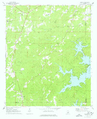
Editions of this 1971 Equality Map
2 editions found
Other maps of this area

1901 · Wetumpka
USGS Topo · 1:125,000

1901 · Wetumpka
USGS Topo · 1:62,500

1903 · Wetumpka
USGS Topo · 1:125,000

1906 · Dadeville
USGS Topo · 1:125,000

1953 · Montgomery
USGS Topo · 1:250,000

1955 · Phenix City
USGS Topo · 1:250,000

1956 · Montgomery
USGS Topo · 1:250,000

1957 · Phenix City
USGS Topo · 1:250,000

1957 · Montgomery
USGS Topo · 1:250,000

1958 · Phenix City
USGS Topo · 1:250,000