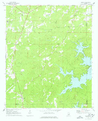
1971 Map of Equality
USGS Topo · Published 1977About this map
Equality and Nixburg anchor this rural landscape in Coosa County during the early 1970s, where the eastern horizon is dominated by the sprawling shoreline of Martin Lake. The map reveals a community defined by its watercourses and country churches, showing how Oakachoy Creek and Parker Creek feed into the lake's western fingers. A notable piece of historical infrastructure is preserved near the center of the sheet with the Covered Br spanning Oakachoy Creek. Local genealogy and social history are well-represented by a high density of small congregations and burial grounds, including the Fishpond Ch and Fishpond to the north, as well as Mt Sinai Ch and Harmony Ch. The terrain transitions from the upland settlements of Cottage Grove to the inundated valleys created by the impoundment of the Tallapoosa River, illustrating the mid-century transformation of the Alabama interior through hydroelectric development.
Find a feature on this map
32 named features on this map. Tap any name to fly to it.
Don’t see what you’re looking for? This feature index may not catch every label — zoom into the map to look around manually.
Map Details
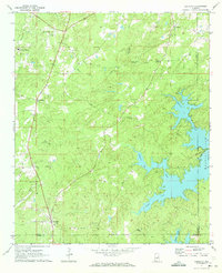
Editions of this 1971 Equality Map
2 editions found
Other maps of this area

1901 · Wetumpka
USGS Topo · 1:125,000

1901 · Wetumpka
USGS Topo · 1:62,500

1903 · Wetumpka
USGS Topo · 1:125,000

1906 · Dadeville
USGS Topo · 1:125,000

1953 · Montgomery
USGS Topo · 1:250,000

1955 · Phenix City
USGS Topo · 1:250,000

1956 · Montgomery
USGS Topo · 1:250,000

1957 · Phenix City
USGS Topo · 1:250,000

1957 · Montgomery
USGS Topo · 1:250,000

1958 · Phenix City
USGS Topo · 1:250,000