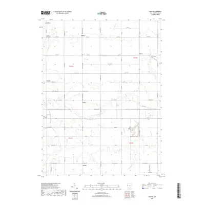
2019 Map of Erastus
USGS Topo · Published 2019About this map
The Wabash River meanders through the western reaches of this Mercer County landscape, anchoring a rural landscape defined by straight section lines and small agricultural settlements. In the south, the village of Erastus sits at a crossroads, while northern communities like Hinton and Shively are linked by a network of local pikes and roads including Frahm Pike and Oregon Rd. The map is particularly notable for its density of burial grounds, many of which are associated with early religious congregations.
Find a feature on this map
55 named features on this map. Tap any name to fly to it.
Don’t see what you’re looking for? This feature index may not catch every label — zoom into the map to look around manually.
Map Details
Editions of this 2019 Erastus Map
This is the sole edition of this map. No revisions or reprints were ever made.
Other maps of this area
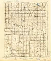
1908 · St. Henry
USGS Topo · 1:62,500
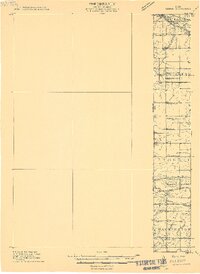
1911 · Berne
USGS Topo · 1:48,000
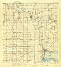
1914 · Celina
USGS Topo · 1:62,500
1915 · Fort Recovery
USGS Topo · 1:48,000
1918 · Fort Recovery
USGS Topo · 1:62,500
1944 · Celina
USGS Topo · 1:62,500
1953 · Muncie
USGS Topo · 1:250,000
1956 · Muncie
USGS Topo · 1:250,000
1960 · Fort Recovery
USGS Topo · 1:24,000
1960 · Celina
USGS Topo · 1:24,000