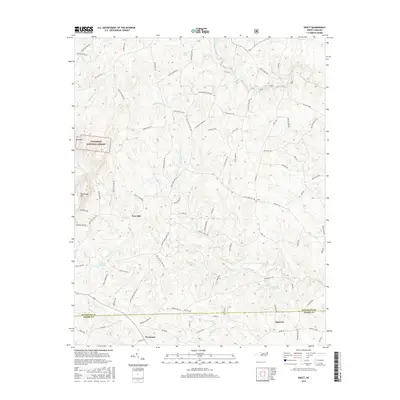
2016 Map of Erect
USGS Topo · Published 2016About this map
The rolling piedmont of the Randolph and Moore county line is defined by a dense network of small family farms and timberland in this 2016 survey. Industrial and agricultural history is visible along the waterways, where the Lambert Mill Dam and Yow Mill sit at the confluence of local creeks. The western edge of the quadrangle is anchored by the protected acreage of the Uwharrie National Forest, rising toward Pond Mtn and Needhams Mtn.
Find a feature on this map
87 named features on this map. Tap any name to fly to it.
Don’t see what you’re looking for? This feature index may not catch every label — zoom into the map to look around manually.
Map Details
Editions of this 2016 Erect Map
This is the sole edition of this map. No revisions or reprints were ever made.
Other maps of this area
1942 · Troy
USGS Topo · 1:125,000
1953 · Raleigh
USGS Topo · 1:250,000
1954 · Raleigh
USGS Topo · 1:250,000
1957 · Troy
USGS Topo · 1:62,500
1957 · Asheboro
USGS Topo · 1:62,500
1968 · Ramseur
USGS Topo · 1:24,000
1968 · Coleridge
USGS Topo · 1:24,000
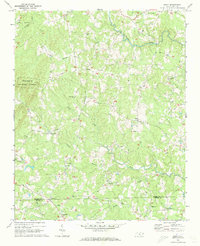
1968 · Erect
USGS Topo · 1:24,000
1968 · Bennett
USGS Topo · 1:24,000
1970 · Asheboro
USGS Topo · 1:24,000