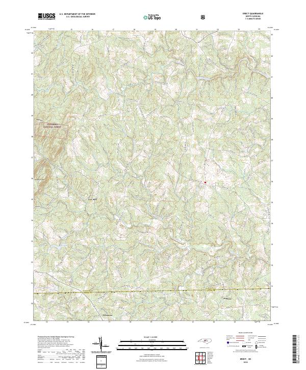
2022 Map of Erect
USGS Topo · Published 2022About this map
Uwharrie National Forest anchors the western edge of this landscape, where the terrain begins to rise toward peaks like Pond Mtn and Needhams Mtn. The region is defined by a complex network of waterways that once powered local industry, most notably along Fork Creek and Richland Creek. While the textile and grain mills that once dotted these banks have largely transitioned, the legacy of these water-driven sites remains visible in names like Yow Mill and the infrastructure at Lambert Mill Dam.
Find a feature on this map
87 named features on this map. Tap any name to fly to it.
Don’t see what you’re looking for? This feature index may not catch every label — zoom into the map to look around manually.
Map Details
Editions of this 2022 Erect Map
This is the sole edition of this map. No revisions or reprints were ever made.
Historical Maps of Yow Mill Through Time
15 maps found
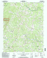
1968 Coleridge
Randolph County, NC
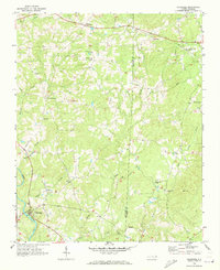
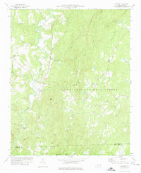
1968 Erect
Randolph County, NC
1970 Glenola
Randolph County, NC
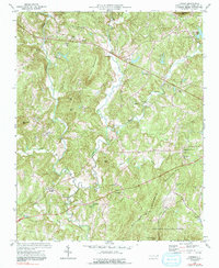
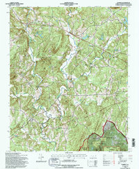
1973 Eleazer
Randolph County, NC
1974 Farmer
Randolph County, NC
1974 Grays Chapel
Randolph County, NC
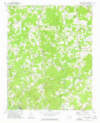
1994 Eleazer
Randolph County, NC
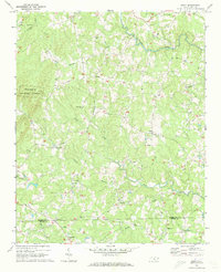
1994 Erect
Randolph County, NC
1994 Farmer
Randolph County, NC
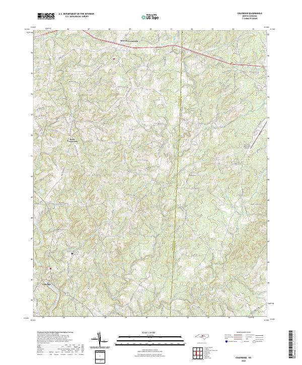
2022 Coleridge
Randolph County, NC
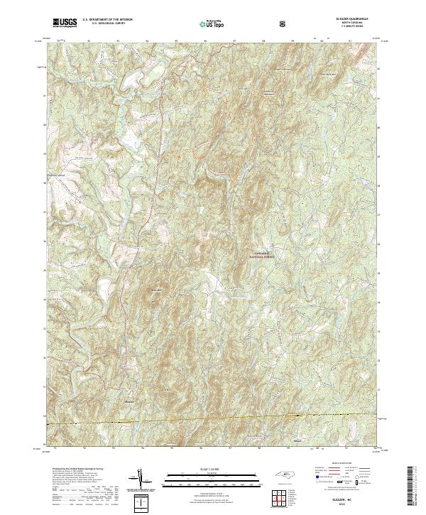
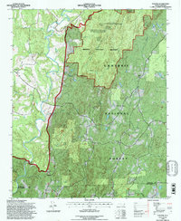
2022 Eleazer
Randolph County, NC
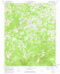
2022 Erect
Randolph County, NC
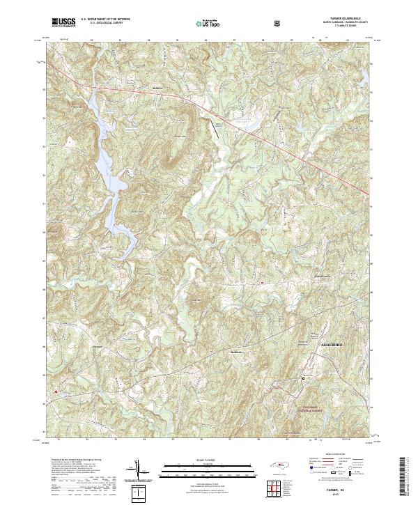
2022 Farmer
Randolph County, NC
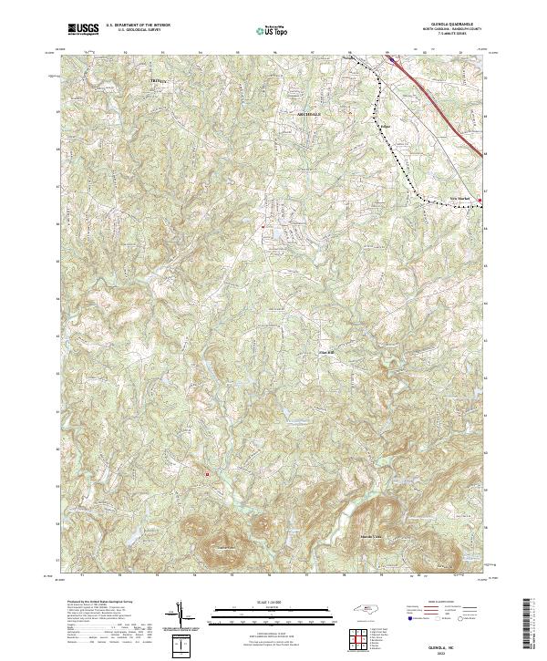
2022 Glenola
Randolph County, NC
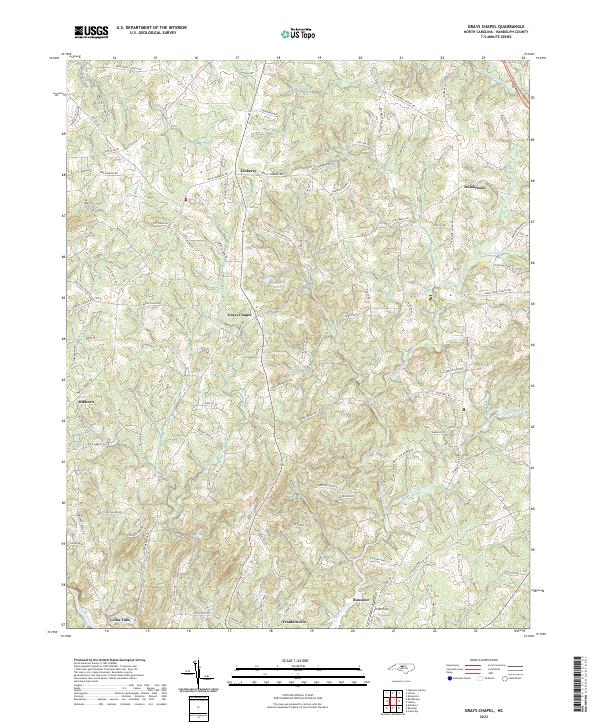
2022 Grays Chapel
Randolph County, NC