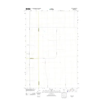
2013 Map of Erie NE
USGS Topo · Published 2013About this map
Beltrami, Marshall, and Pennington counties converge in this low-lying Minnesota landscape, where the survey lines of the public land system dictate the modern road network. The terrain is defined by complex wetland patterns and irregular water bodies that challenge the rigid grid of rural routes. Vital transit corridors like Co Hwy-28 and Res Hwy 26 provide the primary connections through this northern territory, while a system of secondary gravel and dirt roads, including Wells Rd NW and Sharon Rd NW, serve the outlying areas. The map illustrates the 2013 state of rural infrastructure at the triple-county boundary, where the heavy presence of marshland has historically limited dense settlement in favor of large-scale land management and natural drainage patterns.
Find a feature on this map
11 named features on this map. Tap any name to fly to it.
Don’t see what you’re looking for? This feature index may not catch every label — zoom into the map to look around manually.
Map Details
Editions of this 2013 Erie NE Map
This is the sole edition of this map. No revisions or reprints were ever made.
Other maps of this area
1918 · Malcolm
USGS Topo · 1:62,500
1918 · Jelle
USGS Topo · 1:62,500
1919 · Liner
USGS Topo · 1:62,500

1954 · Roseau
USGS Topo · 1:250,000

1957 · Roseau
USGS Topo · 1:250,000

1958 · Roseau
USGS Topo · 1:250,000
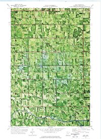
1972 · Erie
USGS Topo · 1:24,000
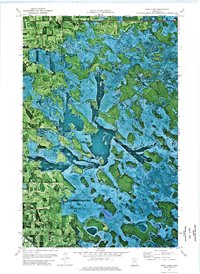
1972 · Good Lake
USGS Topo · 1:24,000
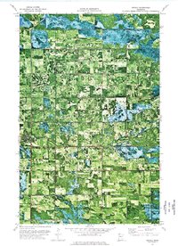
1973 · Grygla
USGS Topo · 1:24,000
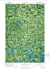
1973 · Grygla SW
USGS Topo · 1:24,000