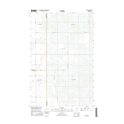
2016 Map of Erie NE
USGS Topo · Published 2016About this map
Beltrami, Marshall, and Pennington counties converge in this section of northern Minnesota, where the landscape is defined by an extensive network of wetlands and seasonal drainages. The rural grid of northern Beltrami County is marked by long, unpaved corridors such as Thorhult Rd NW and Grey Goose Rd NW, which cut through the marshy terrain. The presence of Log Church Rd NW suggests the proximity of historic community gathering points, while Reservation Rd 24 indicates the managed lands within this sparsely populated region. This 2016 survey highlights the intersection of township and range lines across sections of t155n r39w, showing a landscape largely unchanged by modern development, where the infrastructure is limited to essential county routes like Co Hwy 64 and primitive roads providing access to the interior.
Find a feature on this map
25 named features on this map. Tap any name to fly to it.
Don’t see what you’re looking for? This feature index may not catch every label — zoom into the map to look around manually.
Map Details
Editions of this 2016 Erie NE Map
This is the sole edition of this map. No revisions or reprints were ever made.
Other maps of this area
1918 · Malcolm
USGS Topo · 1:62,500
1918 · Jelle
USGS Topo · 1:62,500
1919 · Liner
USGS Topo · 1:62,500

1954 · Roseau
USGS Topo · 1:250,000

1957 · Roseau
USGS Topo · 1:250,000

1958 · Roseau
USGS Topo · 1:250,000
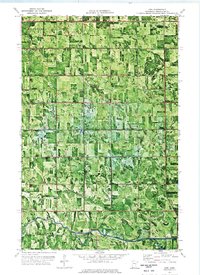
1972 · Erie
USGS Topo · 1:24,000
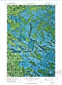
1972 · Good Lake
USGS Topo · 1:24,000
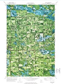
1973 · Grygla
USGS Topo · 1:24,000
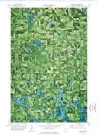
1973 · Grygla SW
USGS Topo · 1:24,000