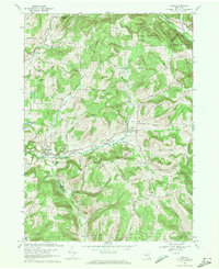
1969 Map of Erin
USGS Topo · Published 1971About this map
Newtown Creek carves a prominent valley through this Chemung County landscape, serving as a corridor for both road travel and the Lehigh Valley railroad line. Small hamlets like Erin and Breesport anchor the local community, while the presence of the County Home and Infirmary near Newtown Creek indicates significant regional civic infrastructure. The surrounding terrain is defined by high ridges and hills, including Broadus Hill and Langdon Hill, which separate the various drainage basins of Cayuta Creek and Latta Brook.
Find a feature on this map
46 named features on this map. Tap any name to fly to it.
Don’t see what you’re looking for? This feature index may not catch every label — zoom into the map to look around manually.
Map Details
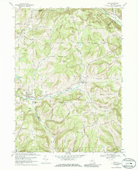
Editions of this 1969 Erin Map
2 editions found
Other maps of this area

1893 · Ithaca
USGS Topo · 1:62,500

1895 · Ithaca
USGS Topo · 1:62,500

1895 · Elmira
USGS Topo · 1:62,500

1898 · Watkins Glen
USGS Topo · 1:62,500

1901 · Watkins
USGS Topo · 1:62,500

1902 · Waverly
USGS Topo · 1:62,500

1905 · Watkins Glen
USGS Topo · 1:125,000

1950 · Elmira
USGS Topo · 1:250,000

1950 · Alpine
USGS Topo · 1:24,000
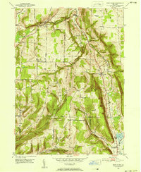
1950 · West Danby
USGS Topo · 1:24,000