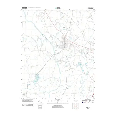
2010 Map of Erwin
USGS Topo · Published 2010About this map
The Cape Fear River and Little River converge in this part of Harnett County, shaping a landscape defined by significant water management and rural settlement. The town of Erwin serves as a central hub, containing the Erwin Post Office and nearby Erwin Airport, while the Beaverdam Swamp Canal illustrates historical efforts to drain and manage the low-lying wetlands south of the main settlement.
Find a feature on this map
51 named features on this map. Tap any name to fly to it.
Don’t see what you’re looking for? This feature index may not catch every label — zoom into the map to look around manually.
Map Details
Editions of this 2010 Erwin Map
This is the sole edition of this map. No revisions or reprints were ever made.
Other maps of this area

1948 · Fayetteville
USGS Topo · 1:62,500

1948 · Slocomb
USGS Topo · 1:24,000

1950 · Slocomb
USGS Topo · 1:24,000

1953 · Raleigh
USGS Topo · 1:250,000

1954 · Raleigh
USGS Topo · 1:250,000

1956 · Bunnlevel
USGS Topo · 1:24,000

1957 · Fayetteville
USGS Topo · 1:62,500

1973 · Benson
USGS Topo · 1:24,000

1973 · Dunn
USGS Topo · 1:24,000

1973 · Erwin
USGS Topo · 1:24,000