2022 Map of Erwin
USGS Topo · Published 2022About this map
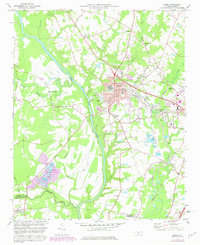
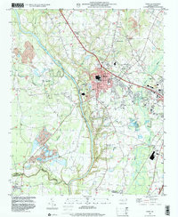
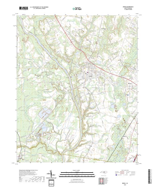
The Cape Fear River winds through this region of Harnett and Cumberland counties, serving as a primary geographical anchor for the communities of Erwin and Dunn. The landscape is defined by its complex hydrology, featuring the Upper Little River, Little River, and the Beaverdam Swamp Canal. These waterways once drove the early development of the area's agrarian and industrial foundations. To the north, the small settlement of Turlington is situated near Stewart Creek, while the southern reaches extend toward Linden.
Find a feature on this map
118 named features on this map. Tap any name to fly to it.
Don’t see what you’re looking for? This feature index may not catch every label — zoom into the map to look around manually.
Map Details
Editions of this 2022 Erwin Map
This is the sole edition of this map. No revisions or reprints were ever made.