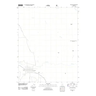
2011 Map of Escalante
USGS Topo · Published 2011About this map
The high desert landscape of Escalante and its surrounding canyon country is documented in this 2011 survey. The settlement itself sits at the base of a complex network of plateaus and drainages, anchored by the meandering Escalante River. Local history is centered around the town grid and the nearby Escalante Cemetery, while travel into the back country relies on routes like Posey Lake Rd and Proctor Rd.
Find a feature on this map
17 named features on this map. Tap any name to fly to it.
Don’t see what you’re looking for? This feature index may not catch every label — zoom into the map to look around manually.
Map Details
Editions of this 2011 Escalante Map
This is the sole edition of this map. No revisions or reprints were ever made.
Other maps of this area

1886 · Escalante
USGS Topo · 1:250,000

1956 · Escalante
USGS Topo · 1:250,000

1960 · Escalante
USGS Topo · 1:250,000

1964 · Tenmile Flat
USGS Topo · 1:24,000

1964 · Dave Canyon
USGS Topo · 1:24,000
1964 · Calf Creek
USGS Topo · 1:24,000

1964 · Canaan Creek
USGS Topo · 1:24,000
1964 · Wide Hollow Reservoir
USGS Topo · 1:24,000
1964 · Roger Peak
USGS Topo · 1:24,000
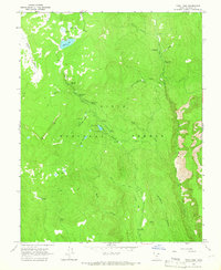
1964 · Posy Lake
USGS Topo · 1:24,000