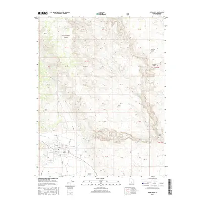
2017 Map of Escalante
USGS Topo · Published 2017About this map
Escalante serves as the primary hub for this portion of southern Utah, situated at the edge of the Dixie National Forest and the vast red rock canyons. The town's grid is well-defined, showing residential development and local infrastructure such as the Escalante Municipal Airport and the Escalante Cem. Beyond the immediate settlement of Potato Valley, the landscape is dominated by the complex drainage of the Escalante River and its tributaries, including Mamie Cr and Sand Cr. Dramatic geological features like Death Hollow, Slickrock Saddle, and the Black Hills reveal the erosion patterns of the Colorado Plateau. Historic routes such as Roundy Trail and the remote Smokey Mt Rd provide a clear view of how transportation lines navigate the significant elevation changes between Antone Flat and the surrounding high desert terrain.
Find a feature on this map
59 named features on this map. Tap any name to fly to it.
Don’t see what you’re looking for? This feature index may not catch every label — zoom into the map to look around manually.
Map Details
Editions of this 2017 Escalante Map
This is the sole edition of this map. No revisions or reprints were ever made.
Other maps of this area
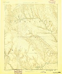
1886 · Escalante
USGS Topo · 1:250,000
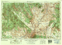
1956 · Escalante
USGS Topo · 1:250,000
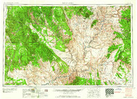
1960 · Escalante
USGS Topo · 1:250,000
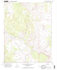
1964 · Tenmile Flat
USGS Topo · 1:24,000
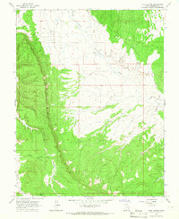
1964 · Dave Canyon
USGS Topo · 1:24,000
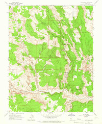
1964 · Calf Creek
USGS Topo · 1:24,000
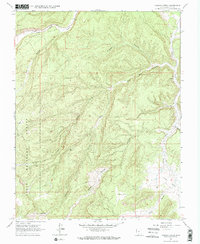
1964 · Canaan Creek
USGS Topo · 1:24,000
1964 · Wide Hollow Reservoir
USGS Topo · 1:24,000
1964 · Roger Peak
USGS Topo · 1:24,000
1964 · Posy Lake
USGS Topo · 1:24,000