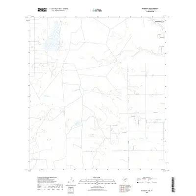
2019 Map of Escondido Lake
USGS Topo · Published 2019About this map
King Ranch lands dominate this coastal plains landscape southwest of Kingsville, where the brush country of Kleberg County meets a network of intermittent waterways. This modern survey illustrates the expansive ranching geography, defined by a grid of rural roads like FM 772 and W Co Rd 2000 that traverse the low-lying terrain. The hydrology of the area is characterized by seasonal drainages such as Escondido Cr, Jaboncillos Cr, and Ebanito Cr, which carve subtle paths through the South Texas prairie. Near the northern edge, the edge of the Kingsville settlement is visible, marked by Rest Haven Memorial Park and the winding course of Santa Gertrudis Cr. Other distinctive terrain features include Zaino Lake and the wetlands of Charco Largo, providing a detailed look at the drainage patterns and land use in this legendary ranching corridor.
Find a feature on this map
29 named features on this map. Tap any name to fly to it.
Don’t see what you’re looking for? This feature index may not catch every label — zoom into the map to look around manually.
Map Details
Editions of this 2019 Escondido Lake Map
This is the sole edition of this map. No revisions or reprints were ever made.
Other maps of this area
1917 · Ben Bolt
USGS Topo · 1:62,500
1921 · Falfurrias
USGS Topo · 1:125,000
1928 · Sarita
USGS Topo · 1:125,000
1950 · Corpus Christi
USGS Topo · 1:250,000
1954 · Kingsville
USGS Topo · 1:62,500
1954 · Riviera
USGS Topo · 1:62,500
1956 · Corpus Christi
USGS Topo · 1:250,000

1956 · Laredo
USGS Topo · 1:250,000
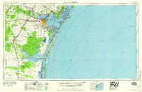
1960 · Corpus Christi
USGS Topo · 1:250,000
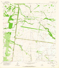
1963 · Ben Bolt SE
USGS Topo · 1:24,000