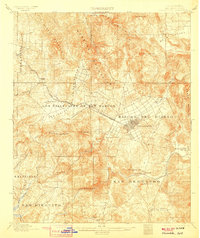
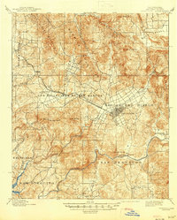
1901 Map of Escondido
USGS Topo · Published 1907About this map
The Rincon Del Diablo land grant area anchors this turn-of-the-century survey, centered on the growing town of Escondido. The landscape transitions from the coastal Buena Vista Hills across the San Marcos Mountains to the interior valleys. The Southern California R. R. Escondido Branch provides a vital link through the Los Vallecitos De San Marcos, connecting the agricultural settlement of San Marcos and Richland to the regional rail network. In the southeast, the San Dieguito River flows past the small community of Bernardo and Battle Mountain. This record preserves the early layout of the San Pasqual Valley and the German colony of Olivenhain before the mid-century urbanization of San Diego County.
Find a feature on this map
37 named features on this map. Tap any name to fly to it.
Don’t see what you’re looking for? This feature index may not catch every label — zoom into the map to look around manually.
Map Details
Editions of this 1901 Escondido Map
6 editions found
Other maps of this area

1893 · El Cajon
USGS Topo · 1:62,500

1893 · Oceanside
USGS Topo · 1:62,500

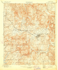
1893 · Escondido
USGS Topo · 1:62,500

1898 · Oceanside
USGS Topo · 1:62,500

1901 · Elcajon
USGS Topo · 1:62,500

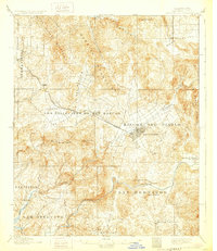
1901 · Escondido
USGS Topo · 1:62,500

1901 · Oceanside
USGS Topo · 1:62,500

1901 · San Luis Rey
USGS Topo · 1:125,000

1903 · Cuyamaca
USGS Topo · 1:125,000

1903 · La Jolla
USGS Topo · 1:62,500