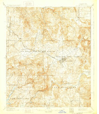
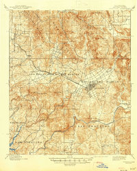
1901 Map of Escondido
USGS Topo · Published 1929About this map
The town of Escondido serves as the focal point of this late 19th-century survey, surrounded by the large historic land grants of Rincon del Diablo and Los Vallecitos de San Marcos. These ranchos reflect the transition from Mexican era landholdings to a developing American agricultural landscape. The transportation network is anchored by the California Southern R. R. Escondido Branch, which connects small settlements like Richland and San Marcos to the larger citrus and grape-growing regions.
Find a feature on this map
35 named features on this map. Tap any name to fly to it.
Don’t see what you’re looking for? This feature index may not catch every label — zoom into the map to look around manually.
Map Details
Editions of this 1901 Escondido Map
6 editions found
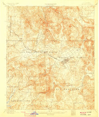
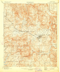
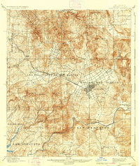
Other maps of this area

1893 · El Cajon
USGS Topo · 1:62,500

1893 · Oceanside
USGS Topo · 1:62,500

1893 · Escondido
USGS Topo · 1:62,500

1898 · Oceanside
USGS Topo · 1:62,500

1901 · Elcajon
USGS Topo · 1:62,500

1901 · Escondido
USGS Topo · 1:62,500

1901 · Oceanside
USGS Topo · 1:62,500

1901 · San Luis Rey
USGS Topo · 1:125,000

1903 · Cuyamaca
USGS Topo · 1:125,000

1903 · La Jolla
USGS Topo · 1:62,500