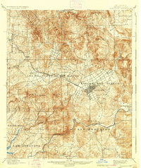
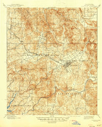
1901 Map of Escondido
USGS Topo · Published 1937About this map
The land grants of Rincon Del Diablo and Los Vallecitos De San Marcos define the late 19th-century landscape of northern San Diego County. This 1890s survey by J.B. Lippincott and L.C. Fletcher captures the region at a pivotal moment when the Southern California R. R. Escondido Branch had recently connected the valley to the coast. The grid of Escondido stands as a primary hub, while smaller outlying settlements like Bernardo and Olivenhain anchor the agricultural and ranching interior. The topography is marked by a sequence of northwest-trending ranges, including the San Marcos Mountains and Merriam Mountains, which hem in fertile valleys where early water systems like Escondido Creek and the San Dieguito River provided essential resources. Notable landmarks such as Battle Mountain and Cerro de las Posas overlook a terrain still organized by Mexican-era ranchos including Encinitas and San Bernardo.
Find a feature on this map
45 named features on this map. Tap any name to fly to it.
Don’t see what you’re looking for? This feature index may not catch every label — zoom into the map to look around manually.
Map Details
Editions of this 1901 Escondido Map
6 editions found
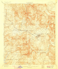
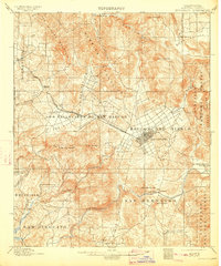
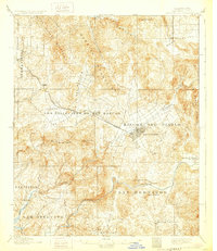
Other maps of this area

1893 · El Cajon
USGS Topo · 1:62,500

1893 · Oceanside
USGS Topo · 1:62,500

1893 · Escondido
USGS Topo · 1:62,500

1898 · Oceanside
USGS Topo · 1:62,500

1901 · Elcajon
USGS Topo · 1:62,500

1901 · Escondido
USGS Topo · 1:62,500

1901 · Oceanside
USGS Topo · 1:62,500

1901 · San Luis Rey
USGS Topo · 1:125,000

1903 · Cuyamaca
USGS Topo · 1:125,000

1903 · La Jolla
USGS Topo · 1:62,500