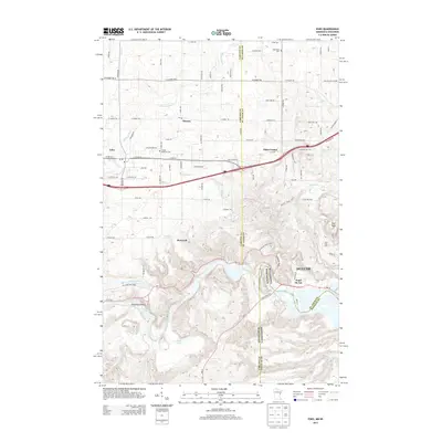
2013 Map of Esko
USGS Topo · Published 2013About this map
Jay Cooke State Park dominates the southern landscape, where the Saint Louis River carves a deep valley through the terrain near the state line between Minnesota and Wisconsin. This 2013 survey illustrates the transition from the rugged parkland and Oldenburg Point to the settled communities of Esko and Eldes Corner further north. Cultural heritage is anchored by sites such as the Finnish Apostolic Cem and Augustana Cem, while the historic Fond du Lac neighborhood of Duluth sits at the river's edge.
Find a feature on this map
94 named features on this map. Tap any name to fly to it.
Don’t see what you’re looking for? This feature index may not catch every label — zoom into the map to look around manually.
Map Details
Editions of this 2013 Esko Map
This is the sole edition of this map. No revisions or reprints were ever made.
Other maps of this area

1895 · Duluth
USGS Topo · 1:62,500

1915 · Superior
USGS Topo · 1:48,000

1917 · Superior
USGS Topo · 1:62,500

1953 · Saginaw
USGS Topo · 1:24,000

1953 · Adolph
USGS Topo · 1:24,000

1953 · Duluth Heights
USGS Topo · 1:24,000

1953 · Duluth
USGS Topo · 1:62,500

1953 · Duluth
USGS Topo · 1:250,000

1954 · West Duluth
USGS Topo · 1:24,000

1954 · Cloquet
USGS Topo · 1:24,000