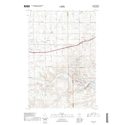
2019 Map of Esko
USGS Topo · Published 2019About this map
The Saint Louis River snakes through the southern reaches of this landscape, marking the border between Minnesota and Wisconsin near the settlement of Fond du Lac. This area reflects a complex borderland where Carlton and St. Louis counties meet, characterized by a transition from the plateaus of Esko and Harney to the sharper relief of the river valley. Notable terrain features like Oldenburg Point and Elys Peak overlook the winding watercourse, while islands such as Amik Island and Nekuk Island sit within the river's channel. The transportation network is anchored by historical routes and local landmarks, including the Lennartson Airport and several community sites like Augustana Cem and the Apostolic Lutheran Cem. This map details the suburban and rural interface of western Duluth, where small junctions like Eldes Corner and Brownell sit amidst a network of creeks including Midway River and Mission Cr.
Find a feature on this map
130 named features on this map. Tap any name to fly to it.
Don’t see what you’re looking for? This feature index may not catch every label — zoom into the map to look around manually.
Map Details
Editions of this 2019 Esko Map
This is the sole edition of this map. No revisions or reprints were ever made.
Other maps of this area

1895 · Duluth
USGS Topo · 1:62,500

1915 · Superior
USGS Topo · 1:48,000

1917 · Superior
USGS Topo · 1:62,500

1953 · Saginaw
USGS Topo · 1:24,000

1953 · Adolph
USGS Topo · 1:24,000

1953 · Duluth Heights
USGS Topo · 1:24,000

1953 · Duluth
USGS Topo · 1:62,500

1953 · Duluth
USGS Topo · 1:250,000

1954 · West Duluth
USGS Topo · 1:24,000

1954 · Cloquet
USGS Topo · 1:24,000