Loading...
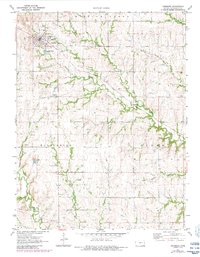
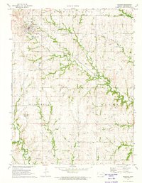
Loading map...1971 Map of Eskridge
USGS Topo · Published 1984About this map
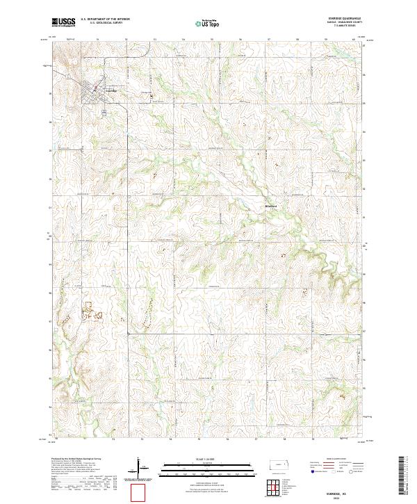
Eskridge serves as the primary hub of this eastern Kansas landscape, situated where several prominent watercourses and historic transportation routes converge. The town's infrastructure is clearly documented, including the Water Tank, Sewage Disposal Ponds, and the Eskridge Cem to the east. The terrain is defined by the winding paths of Dragoon Creek and the Wakarusa River, which carve through the townships of Mission Creek, Wilmington, and Plumb.
Find a feature on this map
22 named features on this map. Tap any name to fly to it.
Don’t see what you’re looking for? This feature index may not catch every label — zoom into the map to look around manually.
Map Details
Date Portrayed1971
Date Published1984
PublisherU.S. Geological Survey
Map TypeTopographic
Scale1:24,000
Physical Dimensions21.07 x 27.07 inches
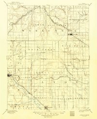
Editions of this 1971 Eskridge Map
2 editions found
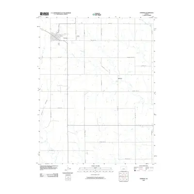
Historical Maps of Eskridge Through Time
9 maps found


Featured Locations
Source Details
SourceU.S. Geological Survey
CopyrightPublic Domain