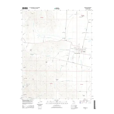
2015 Map of Esparto
USGS Topo · Published 2015About this map
Capay Valley and the western edge of the Sacramento Valley meet on this 2015 study, illustrating a landscape defined by complex irrigation and shifting elevation. The town of Esparto serves as a hub for the surrounding agricultural district, connected to the smaller settlement of Capay and the residential Country Villa Estates. A network of water management features, including the Winters Canal, Hungry Hollow Canal, and Townsend Drain, crisscrosses the lowlands, revealing the sophisticated infrastructure required to support the local economy.
Find a feature on this map
74 named features on this map. Tap any name to fly to it.
Don’t see what you’re looking for? This feature index may not catch every label — zoom into the map to look around manually.
Map Details
Editions of this 2015 Esparto Map
This is the sole edition of this map. No revisions or reprints were ever made.
Other maps of this area

1905 · Esparto
USGS Topo · 1:24,000

1907 · Dunnigan
USGS Topo · 1:62,500

1907 · Woodland
USGS Topo · 1:62,500

1916 · Jacobs Corner
USGS Topo · 1:31,680

1916 · Zamora
USGS Topo · 1:31,680

1916 · Winters
USGS Topo · 1:31,680

1916 · Esparto
USGS Topo · 1:31,680

1924 · Capay
USGS Topo · 1:62,500
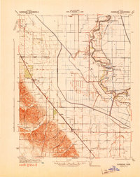
1941 · Dunnigan
USGS Topo · 1:62,500
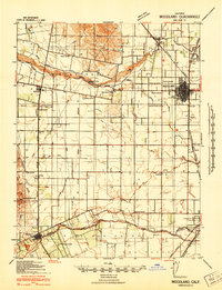
1941 · Woodland
USGS Topo · 1:62,500