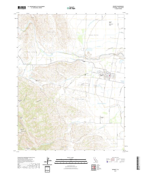
2021 Map of Esparto
USGS Topo · Published 2021About this map
Esparto serves as the primary hub in this portion of the Sacramento Valley, where the grid of town streets like Main St and Grafton St meets the agricultural expanse of Hungry Hollow. To the west, the Capay Valley is defined by the winding course of Cache Creek, which separates the valley floor from the prominent Capay Hills and the distinct peak of Sugarloaf. This landscape is heavily shaped by water management, with the Winters Canal, Hungry Hollow Canal, and W Canal creating a complex irrigation network alongside natural features like Lamb Valley Slough and S Fork Willow Slough.
Find a feature on this map
76 named features on this map. Tap any name to fly to it.
Don’t see what you’re looking for? This feature index may not catch every label — zoom into the map to look around manually.
Map Details
Editions of this 2021 Esparto Map
This is the sole edition of this map. No revisions or reprints were ever made.
Other maps of this area

1905 · Esparto
USGS Topo · 1:24,000

1907 · Dunnigan
USGS Topo · 1:62,500

1907 · Woodland
USGS Topo · 1:62,500

1916 · Jacobs Corner
USGS Topo · 1:31,680

1916 · Zamora
USGS Topo · 1:31,680

1916 · Winters
USGS Topo · 1:31,680

1916 · Esparto
USGS Topo · 1:31,680

1924 · Capay
USGS Topo · 1:62,500
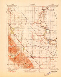
1941 · Dunnigan
USGS Topo · 1:62,500
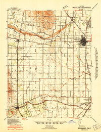
1941 · Woodland
USGS Topo · 1:62,500